海拔
How to Say
👀 0
How to Write
Meaning: elevation
How to Understand
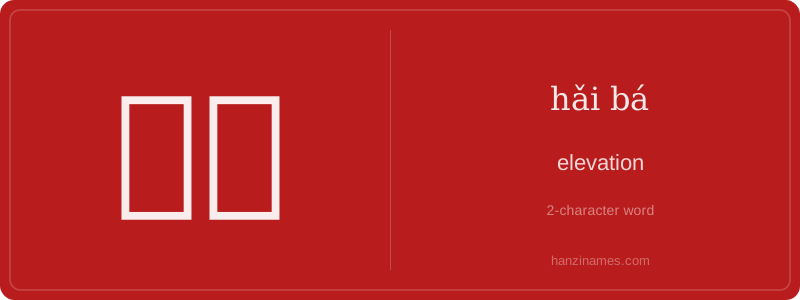
海拔
海拔 refers to the elevation of a location above sea level. It is commonly used in geography and topography to describe the height of a place, distinguishing it from other measurements like altitude or depth.
The character 海 (hǎi) means 'sea,' and 拔 (bá) means 'to pull' or 'to lift.' Together, they literally translate to 'pulling up from the sea,' symbolizing the vertical distance from sea level. This term has been widely adopted in scientific and everyday contexts in China.
Understanding 海拔 is essential for travelers, hikers, and anyone dealing with geographic data. It is often seen on maps, weather reports, and travel guides. In Chinese culture, knowing the elevation can affect everything from climate to agriculture and daily life.
Example Sentences
西藏的平均海拔很高,许多地方超过4000米。
The average elevation in Tibet is very high, with many places exceeding 4,000 meters.
这个城市的海拔很低,靠近海岸,容易受到潮水影响。
This city has a low elevation, close to the coast, and is easily affected by tides.